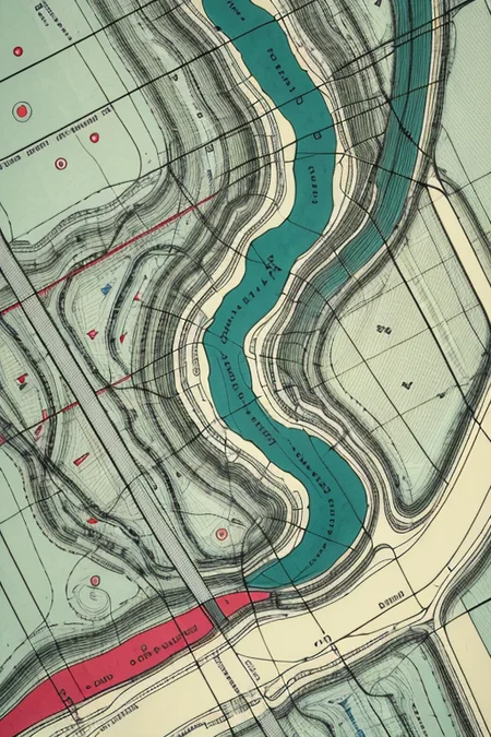
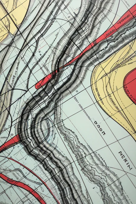
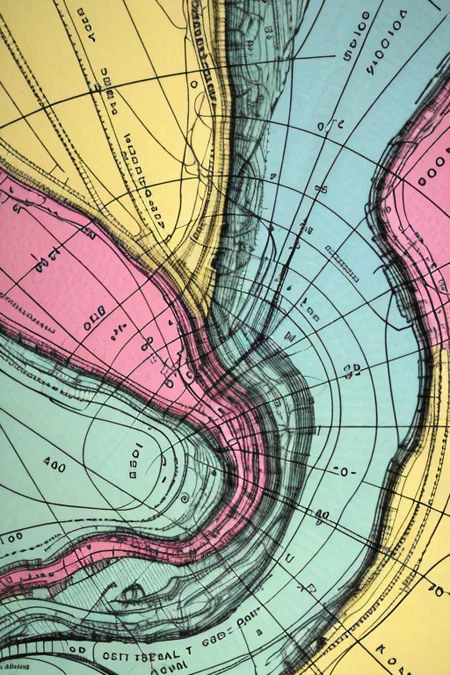
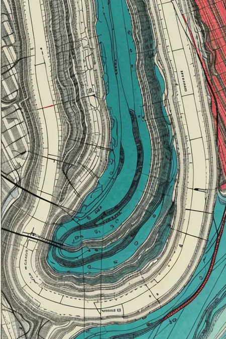
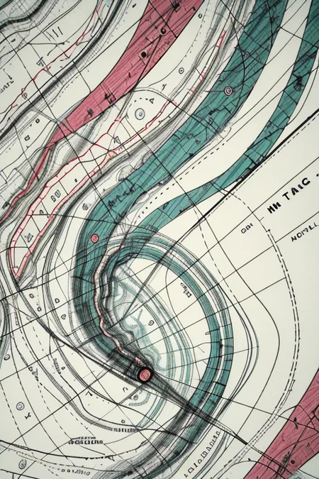
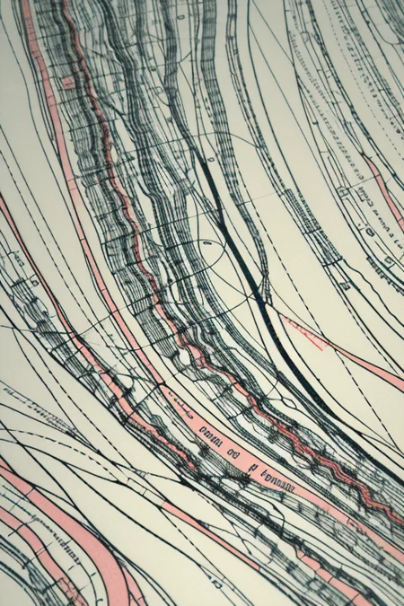
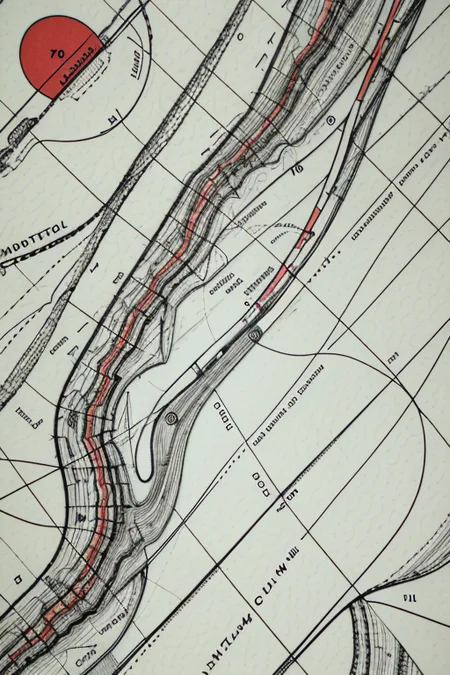
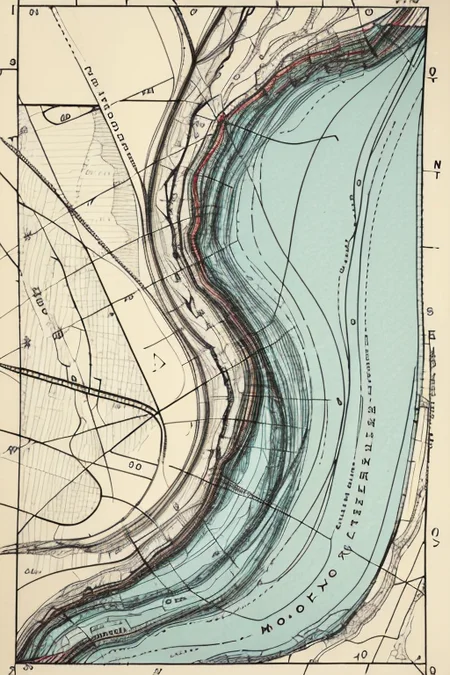
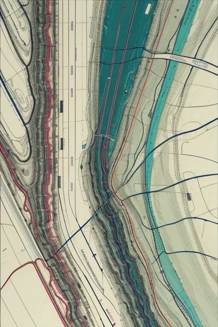
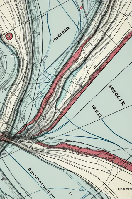
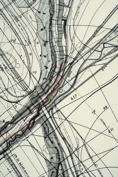
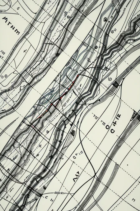
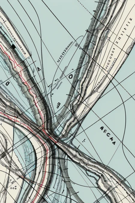
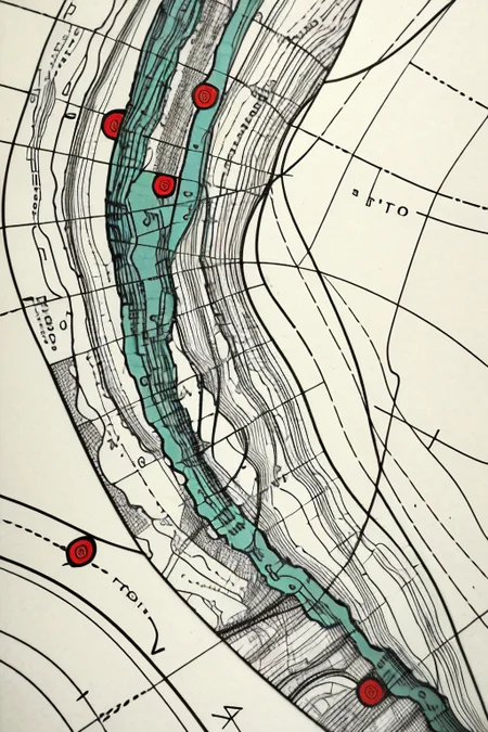
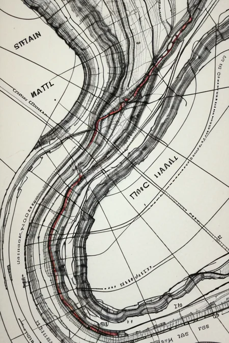
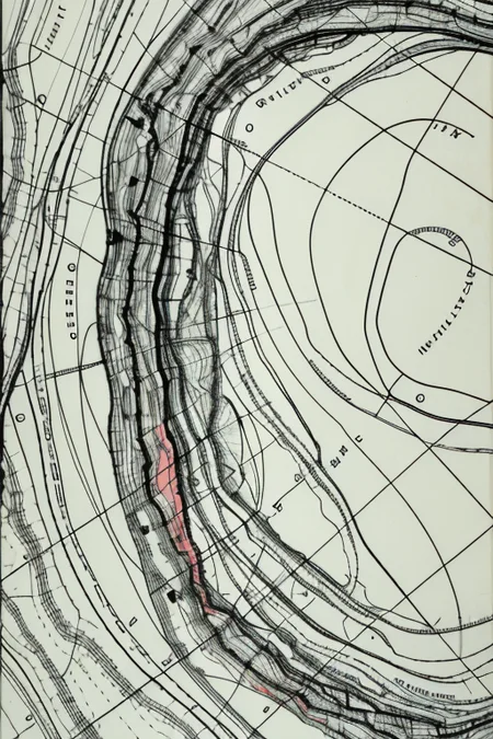
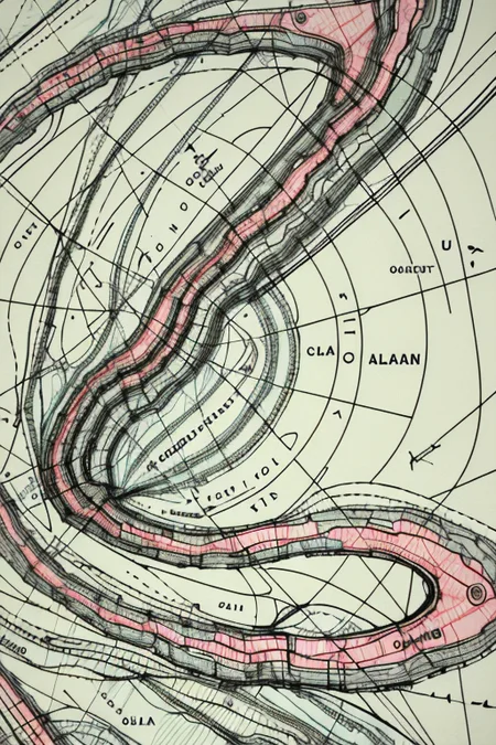
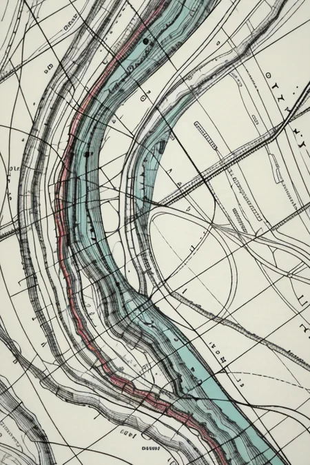
Harold Fisk (1908-1964) was a cartographer and geologist for the U.S. Army Corps of Engineers. In the early 1940s, he spent three years tracing the paths of the Mississippi River. Not just the current path — every path it had taken in the thousands of years it has wandered from the American Midwest to the Gulf of Mexico. Fisk assembled his findings into a series of colored plates published as part of 1944's Geological Investigation of the Alluvial Valley of the Lower Mississippi River. The multicolored maps — tracing Cape Girardeau, Missouri, to Donaldsonville, Louisiana — became legendary for their beauty. (You can see the originals, of which only 1,000 were printed, here.)
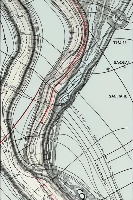
This embedding is trained on 30 segments of the Fisk plates — specifically, Sheet 7, along the Arkansas-Mississippi border — cooked for a total of 300 steps on base SD 1.5: 16 vectors per token, a 0.004 learning rate, a batch size of 6, and 5 gradient steps.
For a far more advanced way of paying procedural homage to Fisk's work, check out Robert Hodgin's Meander project, which creates new Fisk-inspired landscapes from scratch.
Your ratings, especially of the five-star variety, are very much appreciated.
Description
First release.