


Mix
Satellite Image Generator - MapSatimageEU - Cloudless CP 66% ==> 33% Game Landscape Heightmap Generator = Result A
Result A 66% ==> 33% natural earth
credit to mikkop for the creation of the natural earth checkpoint
I took the liberty to mix our work in order to create this combined checkpoint.
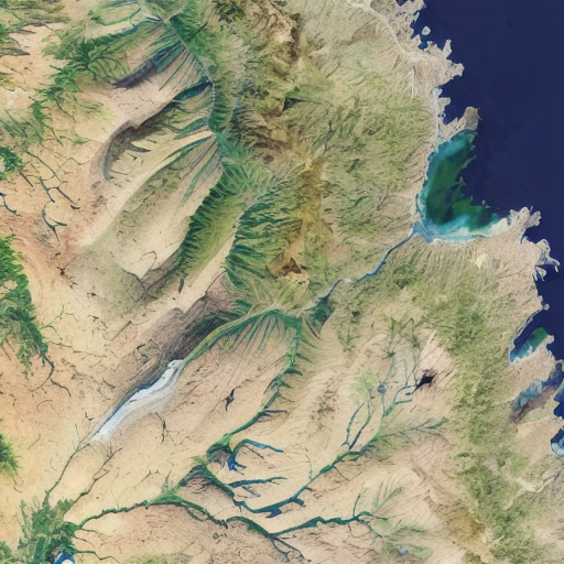
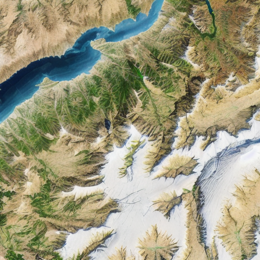
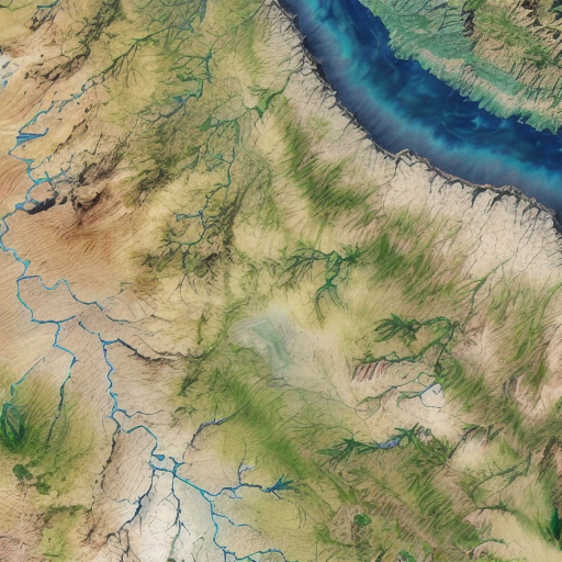
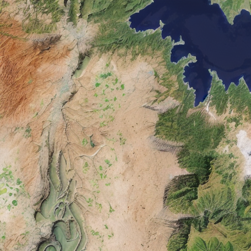
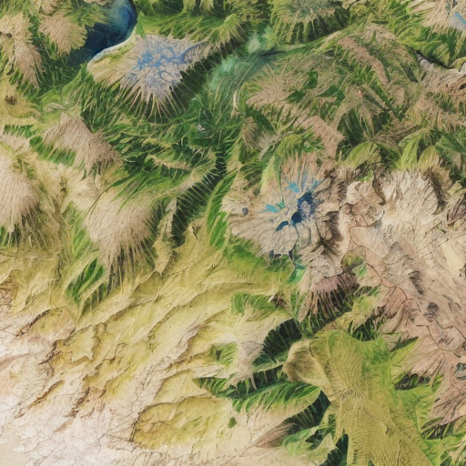
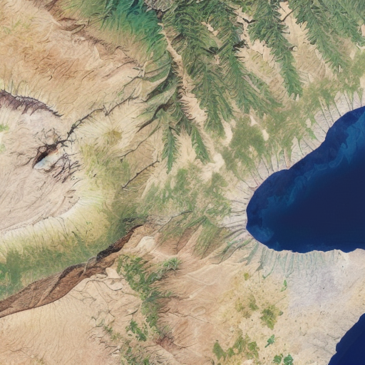
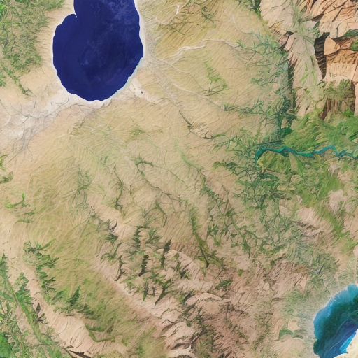
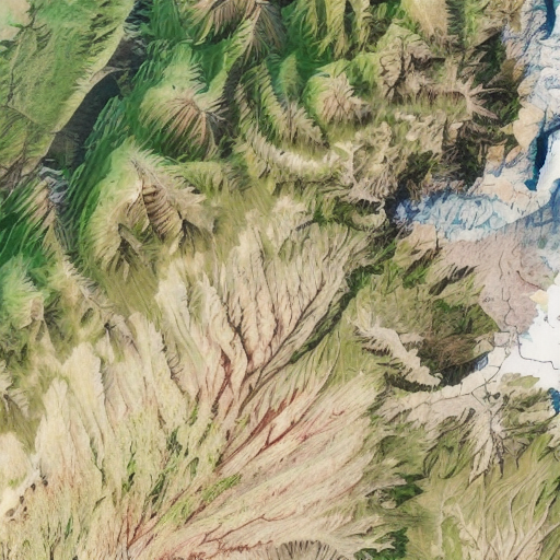
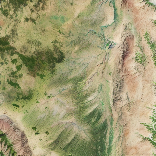
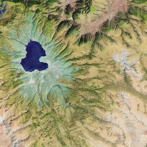
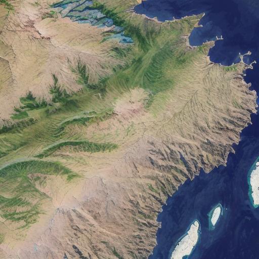
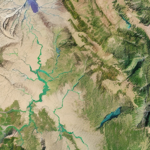
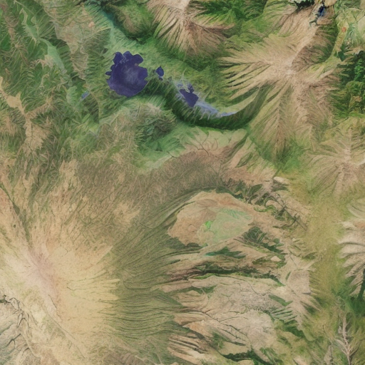
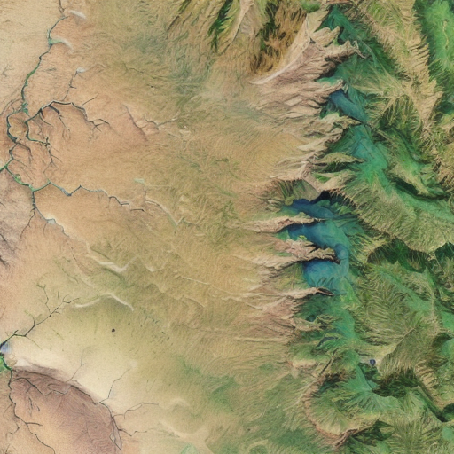
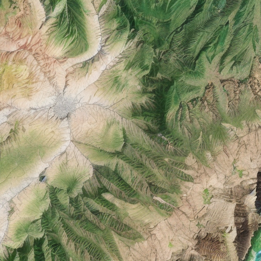
Example prompt testing:
"satellite image of oeax location, mapsatimageeu, (gamelandscapeheightmap512:0.5), cost, ((ocean)), mesa, hills, rivers,"
(gamelandscapeheightmap512:0.5) increase this blending value to get more erosion decrease it to get a more flat-looking result
Description
Mix
Satellite Image Generator - MapSatimageEU - Cloudless CP 66% ==> 33% Game Landscape Heightmap Generator = Result A
Result A 66% ==> 33% natural earth
credit to mikkop for the creation of the natural earth checkpoint
I took the liberty to mix our work in order to create this combined checkpoint.
example prompt testing:
"satellite image of oeax location, mapsatimageeu, (gamelandscapeheightmap512:0.5), cost, ((ocean)), mesa, hills, rivers,"
FAQ
Comments (3)
Fantastic, I was just training an 'ancient map' embed, this will be PERFECT to go along with it.
Hi! Is it possible to have a brief video call with you where you show me how to use this? I need it to create a map but am a little bit of a beginner still. Can pay you a little bit as well. My email is [email protected]
Can we render the height map separately? in order to get a Diff and height map of the same image?
Details
Available On (1 platform)
Same model published on other platforms. May have additional downloads or version variants.